
Site Planning
A feature preview of the site planning tools in RigRoll: lay out a site on a georeferenced map, measure and annotate it, organise it into layers and classes, and share it as a single link that works in 2D and 3D on any device.
The brief
Plan a site in the browser, at its real-world location, with the venue, the layout and the crew all working from one plan.
Before
A site plan never stays still. New vendors get confirmed, activations and sponsors need bigger spaces, all good news for the festival, but every one of those triggers a change: walkway spacing for compliance, fence lines, cable routes, and the total square meterage has to be recalculated. With the plan in a CAD file and a stack of PDF exports, every change means another export and another round of who-has-the-latest.
What we delivered
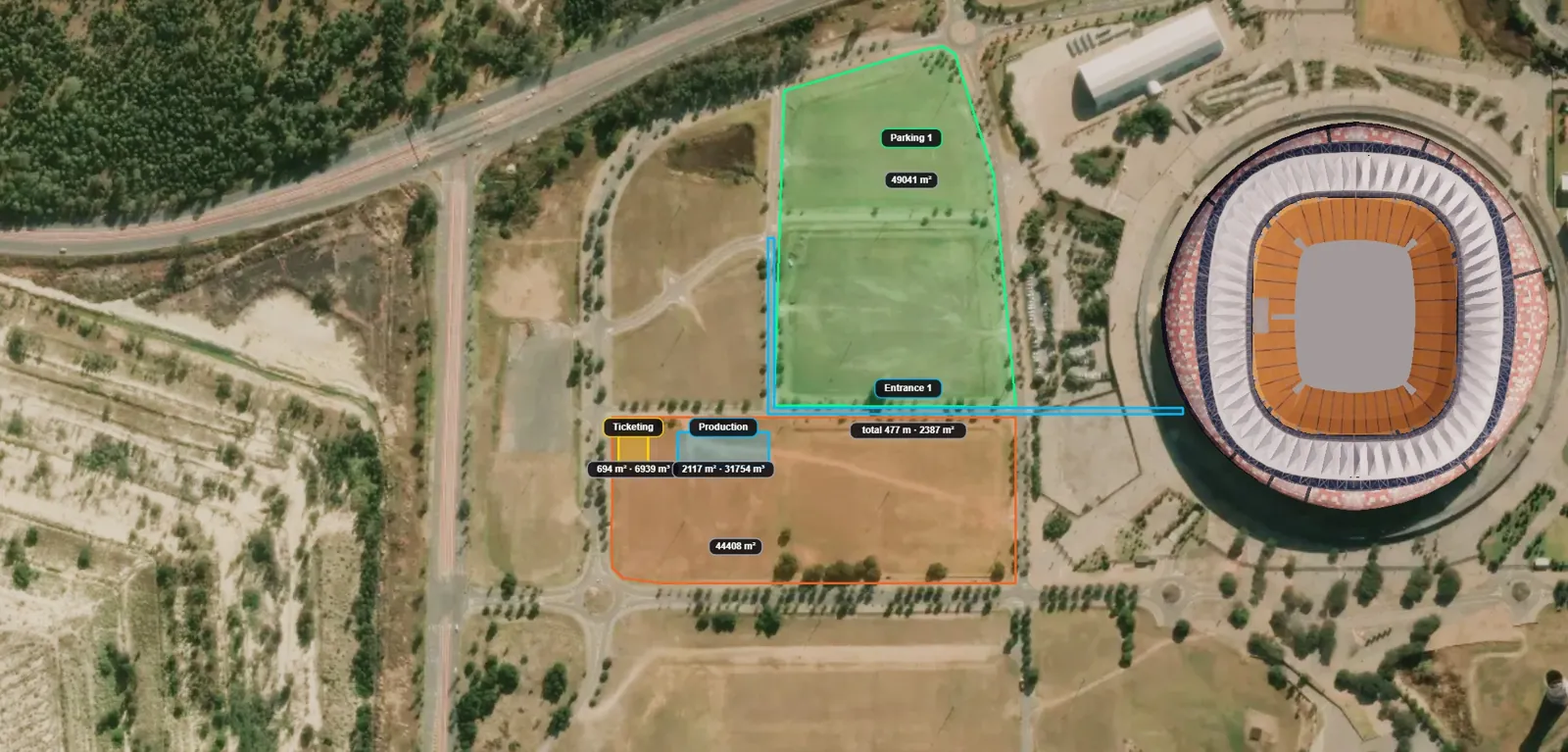
One browser-based site plan on a georeferenced basemap, with real-world terrain when the site needs it. Move a vendor, resize an activation, then re-measure the walkways and areas in seconds. Draw and measure directly on the plan, organise it into layers and classes, annotate it, attach the documents that belong to each element, and export an image of any view in seconds. Import from and export to standard geospatial formats, so it slots into the workflow and software you already use.
Outcome
One plan that keeps up with the changes and that the venue, the crew and the suppliers can open on a phone, in 2D or 3D, without a CAD licence. RigRoll sits alongside the software you already run rather than replacing it.
Plan on the real map
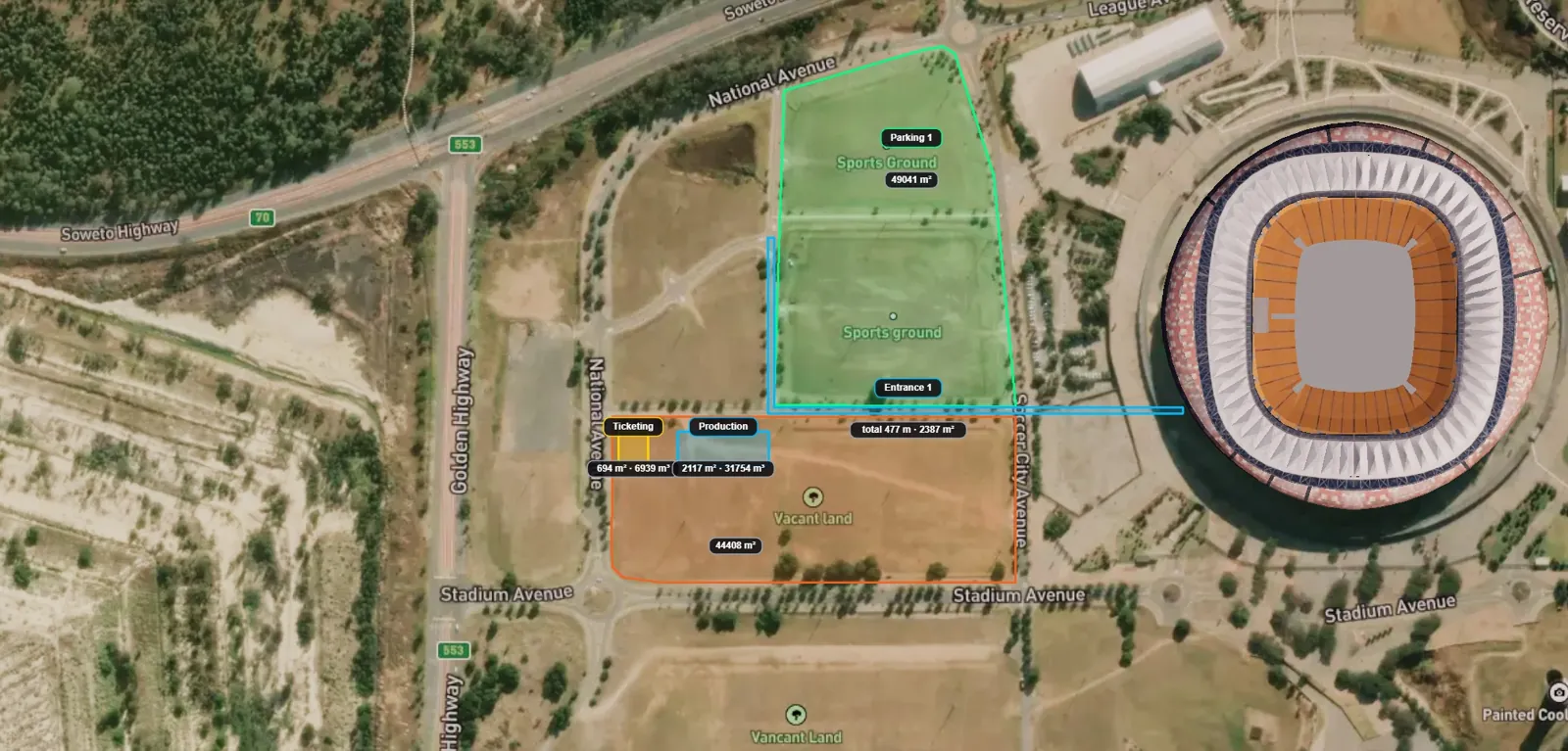
The site sits at its real-world coordinates on a georeferenced basemap, so positions, distances and areas are true to the ground and line up with GPS on site. Plans are built on a flat basemap by default; real-world elevation can be added when the site calls for it.
- Georeferenced: the plan lines up with maps, satellite imagery and GPS positions on site.
- Terrain on request: add elevation data where slopes and levels matter to the layout.
- Need more accurate terrain? Speak to us about integrating your geolocated LiDAR or 3D scan as an overlay.
Measure anything, on any device
Distances, heights and areas straight off the plan. Check a clearance, a cable run or a fence line without opening CAD.
Draw the layout in the browser
Mark out fence lines, cable routes, vehicle paths and zones directly on the site. Save it to the RigRoll Cloud and everyone with the link loads the same plan.
Show only what matters to who is looking
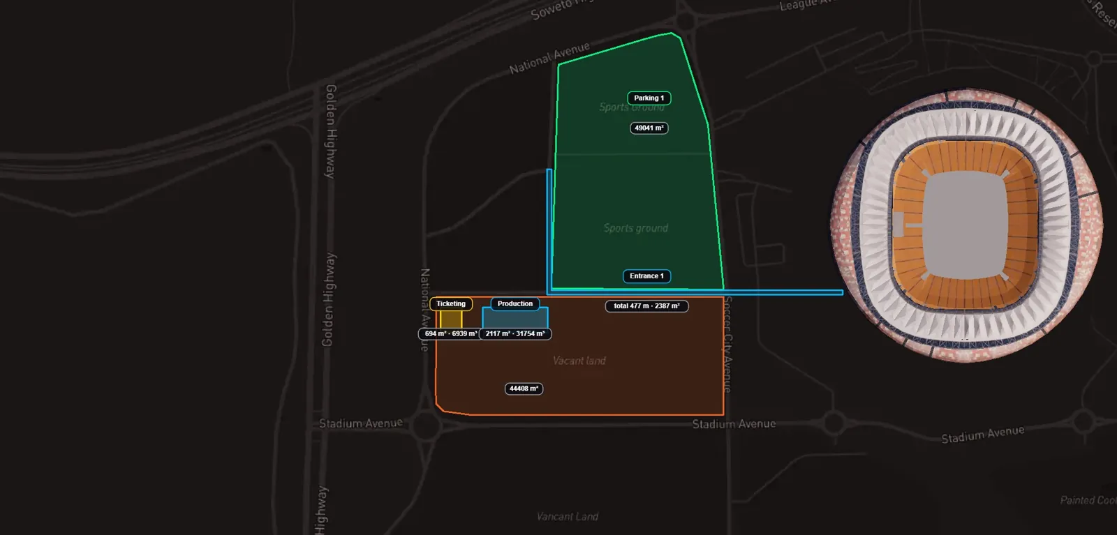
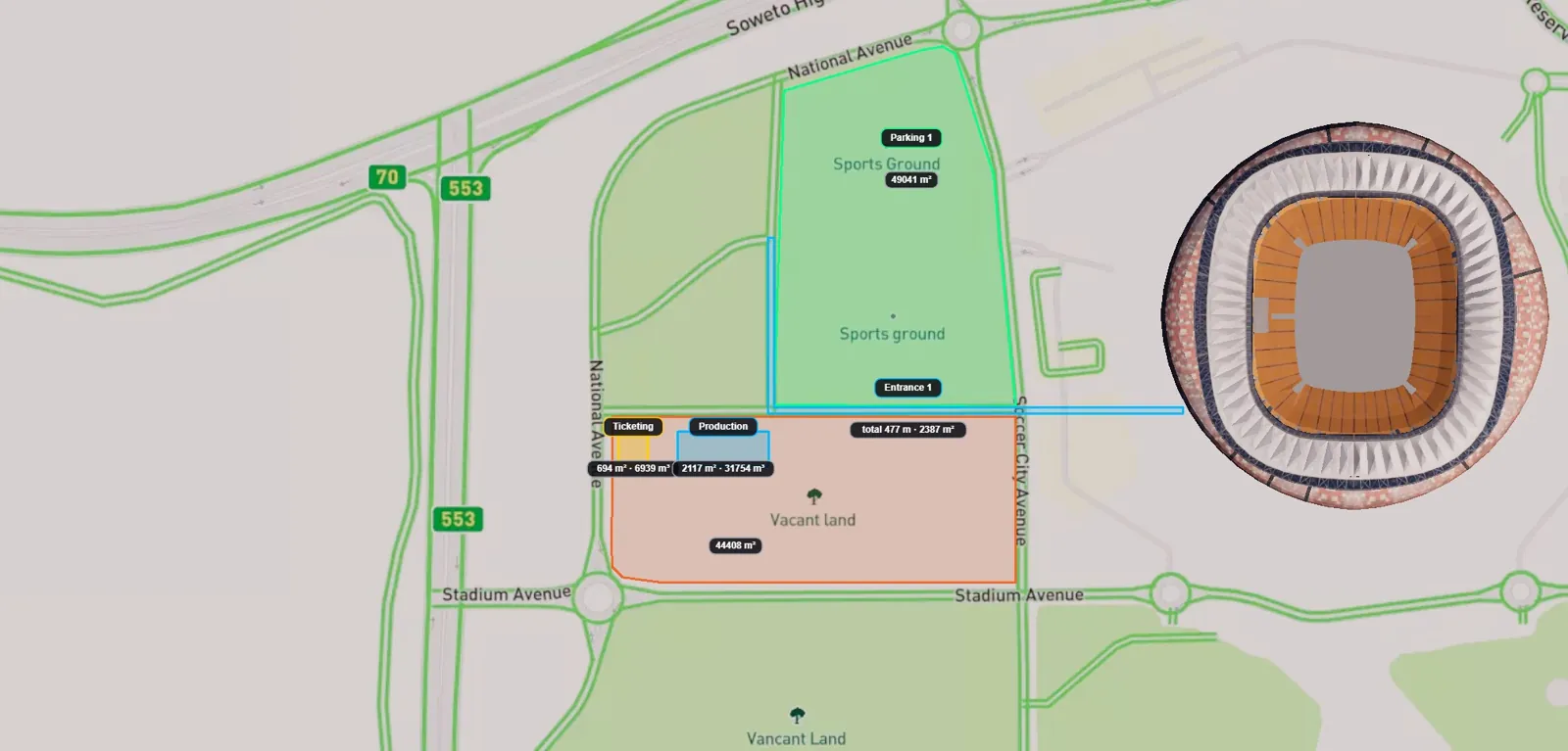
Organise the site into layers and classes: infrastructure, power, security, front of house, suppliers. Switch them on and off so each team sees its own plan without losing the whole picture.
Notes and paperwork, where they belong
Annotate directly on the plan and attach documents to the elements they relate to: PDF plots, supplier drawings, permits, photos, schedules. Click the thing, get the document.
Top-down plan or walk the site
Flip between a 2D plan view and a full 3D walkthrough of the same site. Extrude a drawn zone into a volume to block out a marquee, a structure or a stage footprint. Sightlines, screen placement and vehicle access read differently in 3D, and both are one click apart.
Draw the zone, generate the layout
Draw the area and let RigRoll fill it. Parking is the obvious case: set the bay size, aisle width and orientation once and the bays are generated to fit the zone, with the count ready for the traffic plan. Resize the zone and generate again instead of placing every bay by hand.
Zoning and the full stage model, one link
Site planning is built on the same 3D engine as the rest of RigRoll. One link holds the zoning and site layout alongside the fully detailed CAD models of the stages and structures from software such as Vectorworks. Switch between them with layers: the site overview for the venue and security, the stage detail for the technical crew, both in the same place.
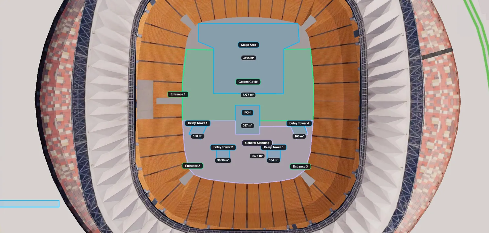
The plan that keeps up with the festival
A new vendor is confirmed. A sponsor needs a bigger activation. Each change moves something else: the walkway spacing required for compliance, a fence line, a cable route, and the total square meterage of the site. Make the change on the plan, measure the knock-on straight away, and save it to the RigRoll Cloud so everyone with the link loads the latest version.
- Move and resize vendors, activations and structures directly on the site.
- Re-check walkway spacing and clearances for compliance after every change.
- Total and per-zone square meterage measured off the plan, not worked out by hand.
 Google Earth Pro
 QGIS
QGISFits into the pipeline you already have
Import from and export to standard geospatial formats, so the site plan moves between RigRoll and the GIS, CAD and mapping software your team already uses. Zones, paths and their names and attributes come through intact, whether you open them in Google Earth, QGIS or ESRI ArcGIS. RigRoll is built to be an easy addition to an existing workflow that makes communication easier, not a replacement for every tool you run.
Show the thing you are talking about
In production meetings, online or in person, share the plan on screen and move the camera to the vendor, the gate or the parking area under discussion. Everyone sees the same thing and the decision gets made in the meeting.
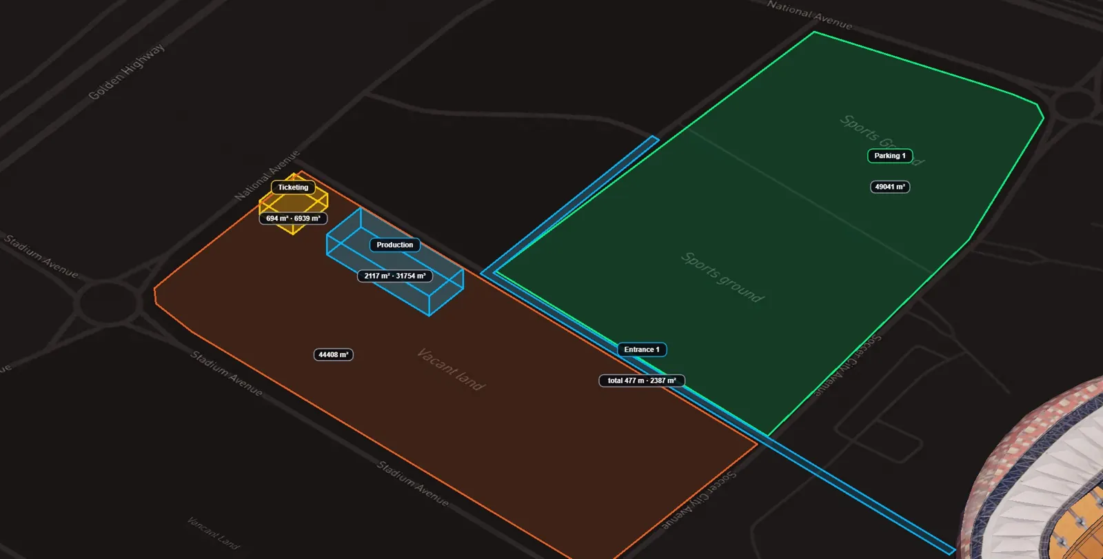
An image of any view in seconds
Export the current view as an image for a meeting, a permit application or a supplier brief. No render queue.